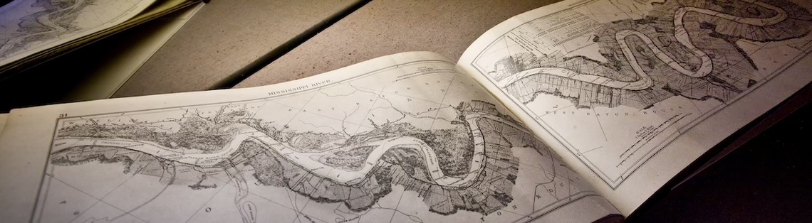
The Cartographic Information Center is part of the Department of Geography and Anthropology under the College of Humanities & Social Sciences of Louisiana State University.
The Center, which is open to the general public, maintains a collection consisting of two main parts, material owned by the Department of Geography and Anthropology, and the GPO Federal Depository material housed under a selective housing agreement with the Regional Depository Library in LSU library. The material in the Cartographic Information Center consists of maps, aerial photographs, globes, journals, monographs, slides, and atlases. Patrons using the collection include the faculty and students in the Department of Geography and Anthropology and from other geoscience departments (Geology and Geophysics, as well as the Coastal Studies Institute). Beyond the geosciences, the Center serves many patrons from the College of Design and the greater Louisiana State University community as well as local businesses, Louisiana state agencies, and the general public.
Post-Hurricane Aerial Photograph Collections
Please contact us to request any of the frames in these new collections.
Hurricane Audrey (1957) struck the Louisiana - Texas border in June, killing hundreds and displacing tens of thousands with high winds and an unexpectedly early landfall. The CIC post-Hurricane Audrey collection now contains 625 frames of the Louisiana and Texas coasts, taken by the U.S. Navy. Click here to view the flight lines of the post-Hurricane Audrey aerial photographs.
Hurricane Carla (1961) struck the Texas coastline near Port Lavaca, north of Corpus Christi in September. The storm predates the Saffir-Simpson scale, but is widely considered one of the strongest hurricanes to ever make landfall in Texas. The CIC post-Hurricane Carla collection now contains 1,693 frames of the Louisiana and Texas coasts taken by the U.S. Navy in October 1961. Click here to view the flight lines of the post-Hurricane Carla aerial photographs.
Policies
For information about the collection efforts of the CIC, please read our Collection Development Policy.
Effective August 2, 2004 aerial photograph users not affiliated with LSU will be charged an Access Fee. Please read the Access Fee Policy for more information.
E-mail requests for aerial photograph selection and scanning will be accepted starting August 2, 2004. Please read the Off Site Researcher Policy for more information.
Appointments are required to use the Aerial Photograph Collection. Please read the Public Service Policy for more information.