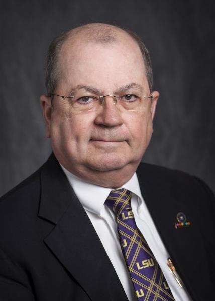
Cliff Mugnier, C.P., C.M.S.
Instructor
Department of Civil and Environmental Engineering
3240H Patrick F. Taylor Hall
Louisiana State University
Baton Rouge, LA 70803
Phone: (225) 578-8536 / Fax: (225) 578-4945
Email: cjmce@lsu.edu
Educational Background
- 1970 Advanced Photogrammetry (George Washington University)
- 1968 Applied Analytical Photogrammetry (US Army TOPOCOM)
- 1967 Professional Cartography (USAF A.C.I.C.)
- 1967 B.A.‑Phys. Geography & Math (Northwestern State University)
Employment History
- (2000- Present) Instructor (Full time) in Surveying, Geodesy & Photogrammetry - Department of Civil and Environmental Engineering - Louisiana State University, Baton Rouge
- (1980 - 2000) Instructor (Part time) in Surveying, Geodesy & Photogrammetry - Department of Civil Engineering - University of New Orleans
- (1977‑) Consulting Cartographer, Geodesist & Photogrammetrist - Baton Rouge & New Orleans, Louisiana
- (1973 ‑ 1977) Photogrammetry Division Manager; - Owen and White, Inc., Consulting Engineers - Baton Rouge, Louisiana
- (1972 ‑ 1973) Chief of Applied Photogrammetry; - Raytheon/Autometric Operation - Wayland, Massachusetts
- (1968 - 1972) Topographic Engineer, Company Commander, Executive Secretary - U.S. Army TOPOCOM Scientific Advisory Committee (TSAC) - Captain, Corps of Engineers - Washington, D. C.
- (1967 ‑ 1968) Cartographer; - USAF Aeronautical Data & Information Data - St. Louis,
Missouri
Research Interests
While serving in the U.S. Army Corps of Engineers he was engaged in research for Lunar and Earth topographic mapping by satellites. He has lectured in geodetic surveying; topographic engineering; map projections and grid systems; International & Louisiana Boundary Law; analytical photogrammetry and geodetic astronomy. Mr. Mugnier has designed, supervised, and executed geodetic surveys; he is consulted on a regular basis regarding network design, techniques, adjustment theory, software systems, specifications, and Grid Systems/Datums world‑wide. Photogrammetric experience has been in research and production in stellar and plumb line camera calibration, triangulation instrument design, analytical bundle triangulation, and research and practice in aerial, close‑range, X-Ray, medical and forensic photogrammetry. He has designed and modified photogrammetric and geodetic instruments including a First‑Order phototheodolite. Mathematical experience has been in error propagation, matrix algebra, statistical analysis, projective geometry, and ellipsoidal conformal mapping.
